
SCALABLE WILDFIRE RISK ANALYSIS FOR AREAS, VALUES AT RISK
FireSight is a fully automated, distributed large scale software service developed to provide static risk analysis of wildfire behaviour in an area, for a linear feature, for specific values at risk, or even for entire jurisdictions. Ensemble simulations presenting burn probability, and fire risk and impact are available for analysis. Methodologies matching existing tools such as Burn-P3, or new innovative modelling approaches are available. Due to the parallel and distributed computing approach, modelling times are reduced from months to weeks or even days.
Results are applicable to wildfire risk management, strategic landscape analysis, community level resilience plans, community / landscape interface assessments, utility / powerline risk analysis and management, fuel management prescription scenarios, emergency resource planning, wildlife habitat impact.
Features
- Fuel models cover Canadian and New Zealand FBP fuel types
- Secured access via web browsers and REST API’s
- Perimeters and fire statistics displayed in the UI, and available via the REST API’s
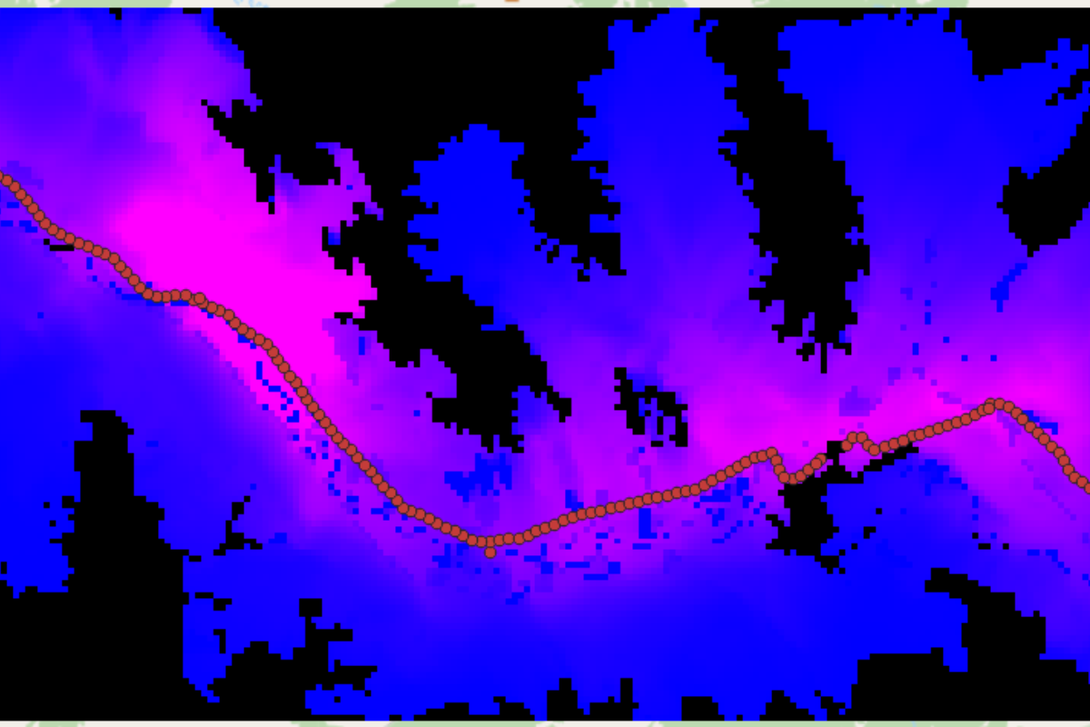
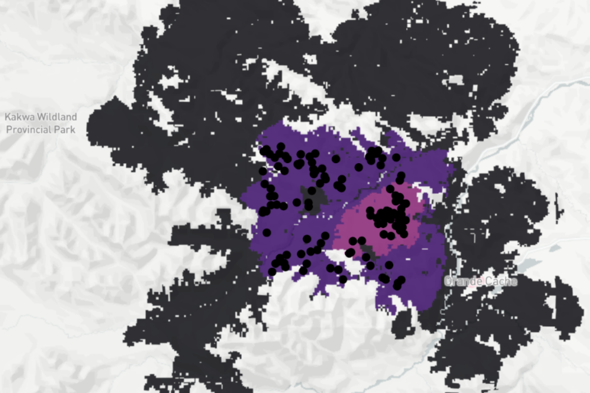
- Standard outputs include burn grids defining fire planes and fire sheds, and mean, min, max FI, ROS, CFB grids
- Advanced outputs include ensemble critical path maps, arrival times to values at risk, and area of intersection between fires and areas considered to be at risk
- May work with industry experts to provide configuration of models and interpretation of results, or can be used to simply generate wildfire modelling stat’s for your own interpretation
- Agency and user-customizations matching the flexibility of FireCast, and are compatible between the two tools
- May use weather data sets provided by the client, or spatially explicit ERA5 datasets
- Wind grids for increased accuracy where needed, are supported.
- Advanced modelling features such as simulation completion based on model statistics such as maximum FI at a given percentile, maximum fire size, weather thresholds
- Archival of all results modelled for post-modelling analysis, training, and comparison, either against recent models, or modelling performed years ago
- Computing progress available in near real-time, results available shortly after completion of modelling
Learn More About FireSight
View our brochure to find out more information about how FireSight works and its capabilities.
Year 2021 and 2022

FireSight is powered by W.I.S.E. and thus is built upon validated software that implements the Canadian Fire Weather Index (FWI) and Fire Behaviour Prediction (FBP) standards. FireSight provides results via your desktop web browser or mobile device, as well as REST API’s for your existing IT infrastructure to consume results.
FireSight clients
We’re proud to have had the opportunity to build partnerships and provide services with these agencies.
